Sherlock Maps
Lake Winnipeg West Beaches Wall Map
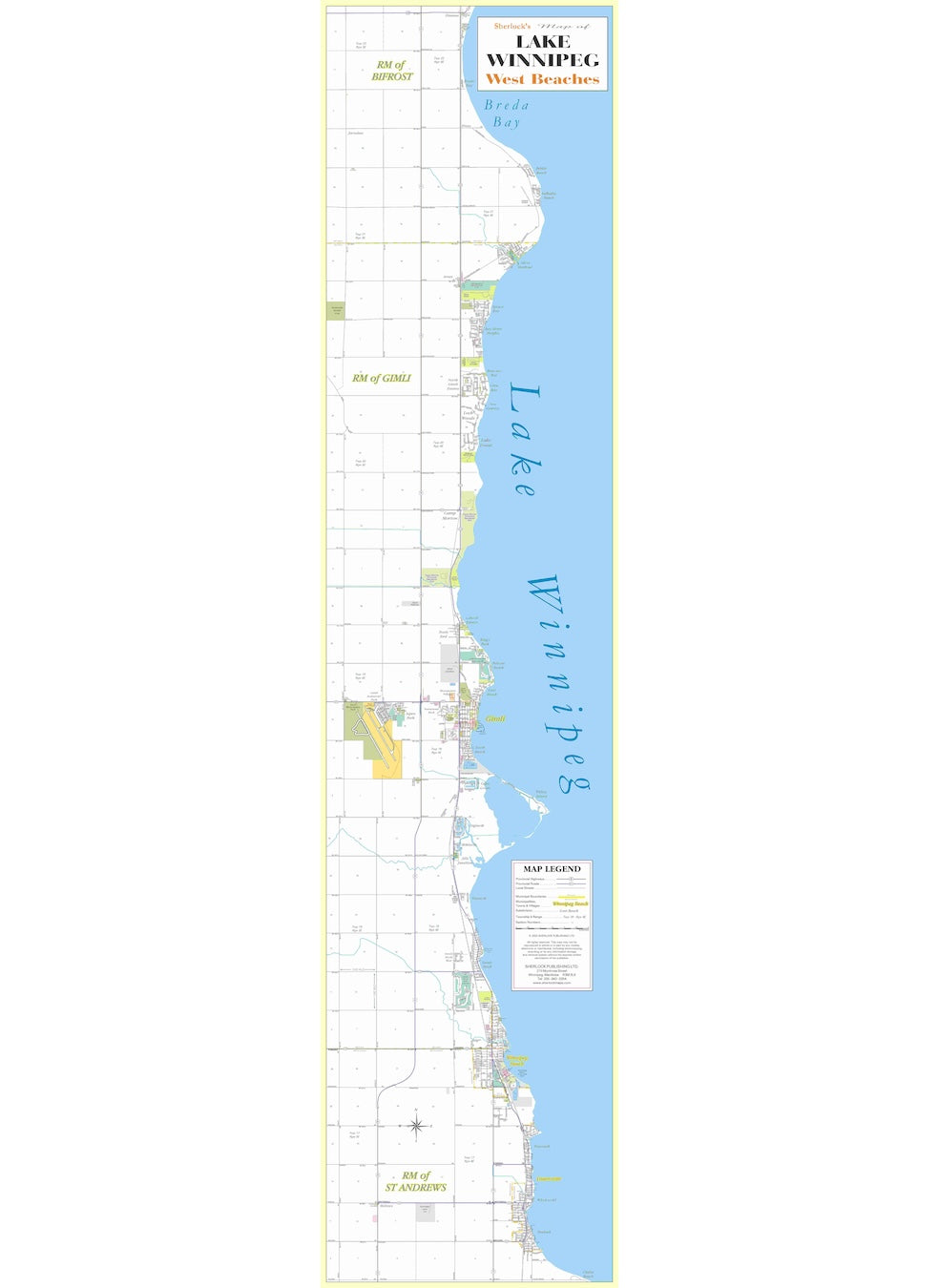
Lake Winnipeg West Beaches Wall Map
Couldn't load pickup availability
The entire West Beaches strip along Lake Winnipeg on a single tall-format wall map. Covers every community from Chalet Beach in the south to Gimli in the north: Chalet Beach, Matlock, Whytewold, Dunnottar, Ponemah, Winnipeg Beach, Winnipeg Beach Provincial Park, Sandy Hook, Husavik, Jills Junction, Miklavik, Siglavik, Odin Green, Willow Island, South Beach, Gimli, Loni Beach, Pelican Beach, King's Park, Gilwell Estates, Camp Morton Provincial Park, Lake Forest, Ness Country, Glen Bay, Brewster Bay, Bay Shore Heights, Spruce Bay, Silver Harbour, Valhalla Beach, Pebble Beach, and Brenda Bay. Used by cottage owners, vacation rental operators, and municipal offices.
Materials
Materials
Gloss photo paper
Dimensions
Dimensions
16" x 20"
Includes a 0.25" white boarder
Shipping
Shipping
Free shipping on all Sherlock Neighbourhood's Maps.